
Thayatalweg 630 - Stage 3: Gmünd - Eugenia
Thayatalweg 630 - 3. Etappe: Gmünd - Eugenia
Hiking tour Starting from Gmünd - Baumann Company
Gmünd (485 m) - Ludwigsthal (498 m) - Eugenia (534 m)
- Starting point of the tour
- Gmünd - Baumann Company
- Tour destination
- Eugenia
- Fitness level required:2/6
- Overall experience:6/6
- Scenery:6/6
- Lowest point
- 476 m
- Highest point
- 590 m
Gmünd (485 m) - Ludwigsthal (498 m) - Eugenia (534 m)
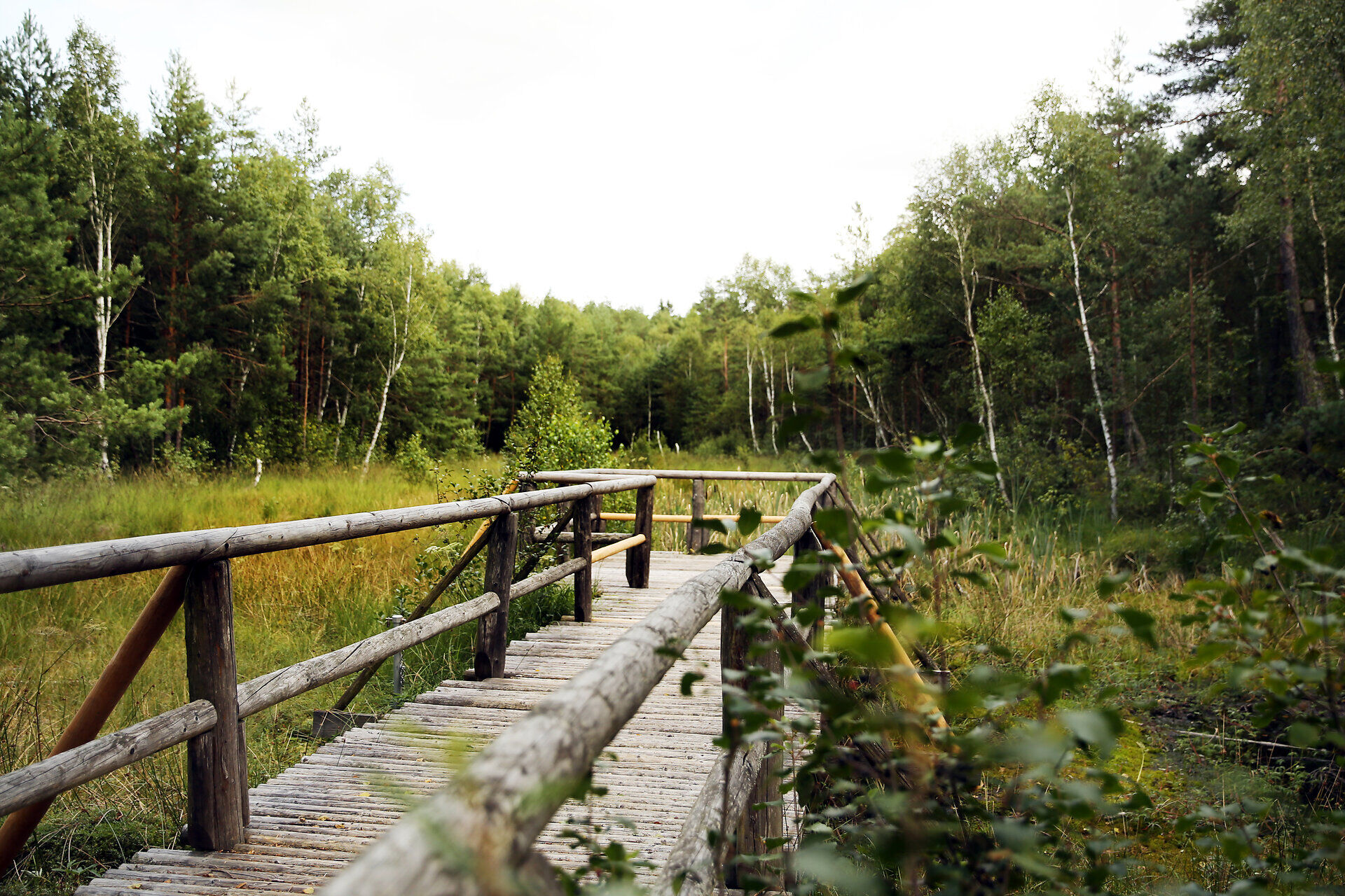
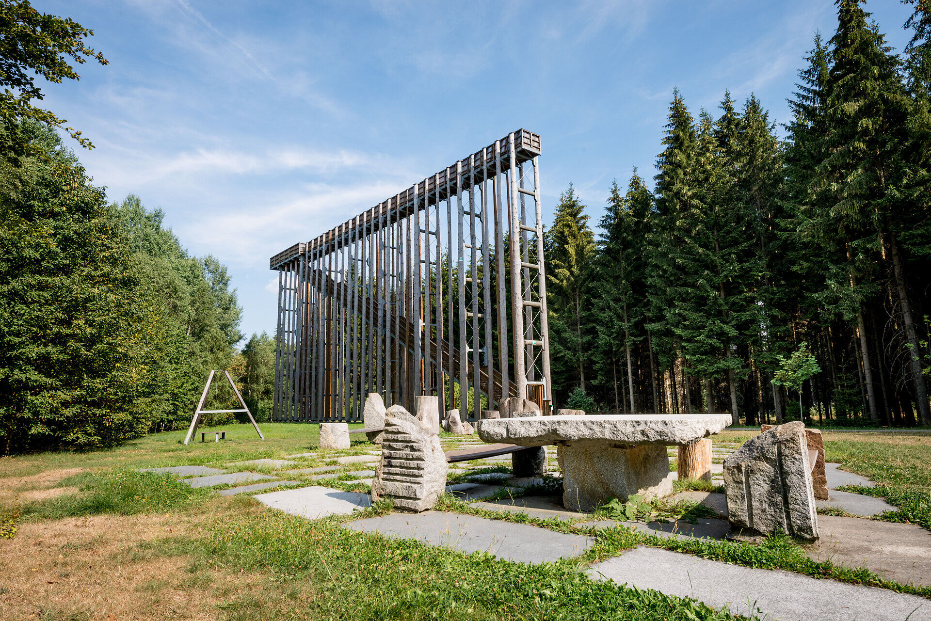
Pure nature: this stage leads through peaceful forest landscapes and moss-covered paths into the Blockheide Nature Park, where impressive granite formations and a lookout tower with sweeping views over the Gmünd basin await. The route continues through tranquil landscapes to Eugenia near Schrems. A detour to the Schrems high moor is worthwhile! Nordic peat bogs, moor pines, sundew and rare moor frogs unfold here - magical, quiet and full of the power of nature.
Highlights along the stage:
Passing through Malerwinkel and the village of Grillenstein, the Thayatalweg trail reaches the Blockheide Nature Park. Passing striking granite formations, the route leads to the observation tower in the center of the nature park. Via Großeibenstein and the forester’s lodge in Ludwigsthal, the hike continues through extensive wooded areas before reaching Eugenia near Schrems.
Linz - Freistadt - Sandl - Karlstift - Bad Großpertholz - Weitra - Gmünd
Vienna - Stockerau - Horn - Vitis - Schrems - Gmünd
For more information, visit: www.vor.at
Leider können wir Ihnen zum jetzigen Zeitpunkt keine Wetterdaten für den Ort anzeigen.
Responsible for the content of this tour
Waldviertel Tourism
Alpine Club, Waldviertel Section
3830 Waidhofen an der Thaya, Missongasse 12
(T) +43 677 63827725
(E) waldviertel@sektion.alpenverein.at
Waldviertel Tourism
3910 Zwettl, Sparkassenplatz 1/2/2
(T) +43 2822 54109
(E) info@waldviertel.at
(I) www.waldviertel.at
Letzte Änderung: 3 Aug 2026